



GIS Solutions
Location data is only valuable when the software built around it helps people act on it. TOPS develops custom GIS software that transforms raw geospatial data into operational intelligence, whether you are managing infrastructure, optimising field operations, tracking assets in real time, or making location-driven decisions at scale.

AI-Powered Geospatial Software Built for Precision and Operational Scale
Custom GIS software development addresses this directly. TOPS builds geospatial platforms that connect spatial data sources, automate analysis workflows, and surface location intelligence through interactive maps, dashboards, and predictive models. From web-based mapping applications and mobile GIS tools with offline capability to AI-driven spatial analytics and enterprise system integrations, every solution is built around the specific data environment, user workflows, and operational outcomes your organisation needs.
Types of GIS Software We Develop

Custom GIS Web Application

Mobile GIS Application

Spatial Data Management Platform

Location Intelligence and Analytics Platform

Cloud GIS and SaaS Platform

GIS Integration and API Development
Our GIS Software Development Services
GIS Consulting and System Architecture
Custom GIS Application Development
Spatial Data Management and Integration
AI and Spatial Analytics Development
Mobile GIS and Field Data Solutions
GIS System Modernisation and Migration
Ready to Turn Your Spatial Data Into Operational Intelligence?
Whether you are building a new GIS platform or modernising an existing geospatial environment, we build location intelligence solutions around your data and your decisions.
Our GIS Software Development Process

Discovery and Spatial Data Assessment

Solution Architecture and Platform Design

UI/UX Design for GIS Users

Agile Development and GIS QA

Data Integration and Validation

Deployment and Ongoing Support
Embedding AI Across the GIS Software We Build

Technology Stack for GIS Software Solutions





Why Choose TOPS for GIS Software Development

We Build Around Your Data

AI That Goes Beyond Map Visualisation

Full Stack GIS Capability

We Stay Involved as Your Data Environment Grows
Frequently Asked Questions
Is your question not here? No Problem, We're waiting for you with more answers! Do not hesitate to contact us if your inquiry was not included in the list.
TOPS develops custom GIS web applications, mobile GIS tools with offline capability, spatial data management platforms, location intelligence and analytics platforms, cloud-hosted GIS and SaaS platforms, and GIS integration APIs. Every solution is built around the specific spatial data environment, user workflows, and operational requirements of the organisation it serves.
Custom GIS software is used across logistics and fleet management, utilities and energy infrastructure, urban planning and smart city development, environmental monitoring, agriculture and precision farming, construction and infrastructure planning, real estate and site selection, telecommunications network management, and public safety and emergency response. Any operation where geography affects decisions can benefit from purpose-built geospatial software.
Yes. Custom GIS platforms are connected to existing ERP, CRM, IoT platforms, asset management tools, and third-party mapping APIs using custom integration layers and REST APIs. Every integration is tested for spatial data accuracy and real-time reliability before go-live to ensure geospatial intelligence flows correctly into the operational systems your teams use.
Yes. Mobile GIS applications are built for iOS and Android with offline map access, GPS-enabled spatial data capture, field workflow management, and background data sync when connectivity is restored. Built for field teams operating in remote or low-connectivity environments where real-time network access cannot be guaranteed.
AI applied to GIS goes beyond static map visualisation. Machine learning models identify spatial patterns, detect anomalies in geospatial datasets, predict outcomes by location, generate optimised routing and resource allocation recommendations, and automate the processing of incoming spatial data from satellite imagery, drone feeds, and IoT sensors. The result is location intelligence that supports faster, more accurate operational and strategic decisions.
TOPS works with raster and vector spatial data, satellite imagery, drone imagery, LiDAR data, and IoT sensor data streams. We support OGC standards including WMS, WFS, and WCS, as well as GeoJSON, GML, GeoPackage, Shapefile, and KML formats. Spatial databases are built on PostGIS and PostgreSQL with support for Oracle Spatial and Microsoft SQL Server Spatial.
Timeline depends on the complexity of the spatial data environment, the number of data source integrations, whether mobile offline capability is required, and the depth of AI and analytics features included. A focused GIS web application with core mapping and analytics functionality typically takes a few months from discovery to go-live. Larger platforms with multi-source data integration, mobile builds, and AI-driven spatial analytics are scoped precisely during the discovery and architecture phase.
Yes. Post-launch support covers performance monitoring, spatial data pipeline updates, integration changes, new data layer development, and feature enhancements aligned to your evolving geospatial requirements. The engagement is structured for the long term so the platform grows with your data environment and operational needs.
Latest Insights in AI
View all Blogs
Agentic AI for HR Operations: Automating the Busywork Without Losing Human Judgment


The Agent Security Checklist: Before You Give AI Access to Production
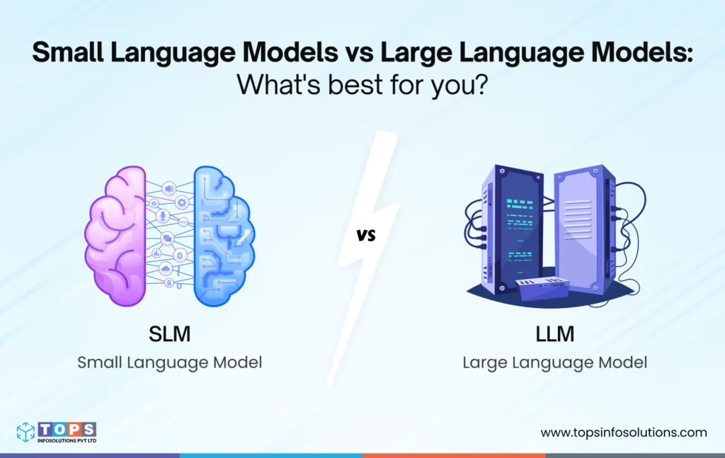
Small Language Models vs Large Language Models: Which to Choose?
Get in Touch
Our Offices

Follow us on


Subscribe Us
Get TOPS Infosolutions' latest articles straight to your inbox.


Copyright © 2026 TOPS Infosolutions Pvt Ltd. All Rights Reserved